


ALTA VIA N° 1 ALTO ADIGE AND VENETO
Escorted trekking 8 and 11 days from the Lake Braies T0103
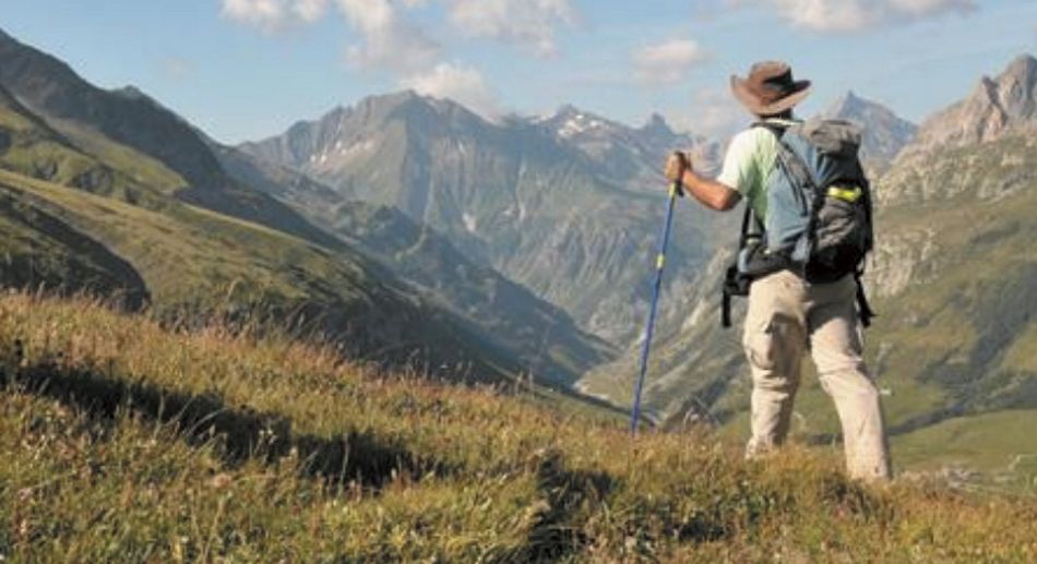
ALTA VIA NUMBER 1 is approximately 125 km long and connects Lake Braies in Pusteria (BZ) with Belluno.
We reach Pala Favera on the seventh day, located between the Pelmo and Civetta mountains. It is the center of Ski Civetta and a UNESCO World Heritage site at the top of the Zoldo Valley.
We reach Pala Favera on the seventh day, located between the Pelmo and Civetta mountains. It is the center of Ski Civetta and a UNESCO World Heritage site at the top of the Zoldo Valley.
The program focuses on an 8- or 11-day trekking tour.
Alpine huts along the highway must be booked well in advance to guarantee bed space, considering that there are trekking and sleeping options in those areas that suffer from a lack of space.
ALTA VIA NUMBER 1
- Escorted trekking tour: 11 days and 10 nights
- Half board or full board.
- 3- or 4-star hotels/alpine huts.
- Period covered: June/July/September
- Group cost based on the number of participants.
THE PROGRAM - ITINERARY BASED ON AN 11-DAY CROSSING
Day 1: Arrival in the Lake Braies area.
Overnight stay at HB base
Day 2 Trekking
After breakfast, hike from Lake Braies (BZ) to the Biella Refuge at Croda del Becco
Total elevation gain: 900 m (ascent), 60 m (descent)
Trail length: approximately 6 km
Crossing time: 3 hours and 30 minutes
Difficulty: Tourist - Hiking
Day 3 Trekking
From the Biella Refuge to the Fanes Refuge
Total elevation gain: 565 m (ascent), 830 m (descent)
Trail length: approximately 14 km
Crossing time: 4 hours and 30 minutes
Difficulty: Tourist
Day 4 Trekking
From the Fanes Refuge to the Lagazuoi Refuge
Total elevation gain: 1070 m (ascent), 375 m (descent)
Length Trail length: approximately 11 km
Crossing time: 5 hours
Signposts: No. 10-11, 20b, 20
Difficulty: Trekking
Day 5 Trekking
From Rifugio Lagazuoi to Rifugio Nuvolau
Total elevation gain: 636 m (ascent), 810 m (descent)
Trail length: approximately 15 km
Crossing time: 5 hours and 30 minutes
Difficulty: Trekking
Day 6 Trekking
From Rifugio Nuvolau to Rifugio Città di Fiume
Total elevation gain: 260 m (ascent), 915 m (descent)
Trail length: approximately 11 km
Crossing time: 4 hours and 30 minutes
Difficulty: Trekking – Equipped trekking – Via ferrata from Rifugio Nuvolau to
Passo Giau
Day Trekking 7
From the Città di Fiume Refuge to the Venezia Refuge and Pala Favera Refuge.
Total elevation gain: 580 m (ascent), 990 m (descent)
Trail length: approximately 12 km
Crossing time: 5 hours and 30 minutes
Difficulty: Hiking – Equipped trekking with a via ferrata along the Gino Flaibani
Route
Day 8: Bus, hiking, lift.
From Palafavera to the Coldai Refuge, the Tissi Refuge, and the Vazzoler Refuge.
Total elevation gain: 850 m (ascent), 650 m (descent)
Trail length: approximately 14 km
Crossing time: 6 hours
Difficulty: Hiking
Day 9: Trekking by bus.
From the Vazzoler Refuge to the Carestiato Refuge.
Total elevation gain: 550 m (ascent), 430 m (descent)
Trail length: approximately 8 km.
Crossing time: 4 hours.
Signposts: No. 555, 554.
Difficulty: Hiking.
Day 10: Bus + Trekking.
From Rifugio Carestiato to Rifugio Sommariva al Pramperét.
Total elevation gain: 450 m (ascent), 430 m (descent)
Trail length: approximately 13 km.
Crossing time: 5 hours.
Signposts: No. 549, (SS 347), 543.
Difficulty: Hiking.
Day 11: Transportation.
From Rifugio Sommariva al Pramperét, after breakfast, 50-minute walk to an area called Pramper.
Transfer to the airport/station.
PRICE INCLUDES
-Welcome meeting at the airport
-Transfers in-out from/to airport
-3Star Hotel basis with Half-board style
-Accommodation in Alpine Huts during trekking Half-board style
-Lunch box or lunch in Alpine Huts when trekking
-Extra alpine guide on day 6 and 7 according to group size (ratio 1 to 4)*
-Local Tax
-Private coach during tour where needed
-Mountain guide's accommodation and meals x 9 days
-Service x 2 to change underwear and clothes
-Dolomite Passport
PRICE DOES NOT INCLUDE
-Tips
-Beverage
-Private Travel Insurance
-Transportation Service
-Any service not included in “Price includes”
*paths equipped with metal cables, ladders, and other fixed anchors such as wooden walkways
and suspension bridges
THE PROGRAMME -ITINERARY BASED ON 11 DAYS TREK
Itinerary: From Lake Braies (in Val Pusteria - Alto Adige) to Belluno (Veneto), touching the most significant mountains in the area, it can be done in 8 days / 7 nights.
Length: 150 km
Starting point: Lago di Bràies 1494 m
Place of arrival: Belluno 389 m
Length of the itinerary: about 150 Km
Total height difference (uphill): 8,000 meters
Total difference in height downhill: 10,170 meters
Maximum altitude of the path: 2752 meters (Rifugio Lagazuòi)
Minimum altitude of the path: 389 meters (Belluno)
- Immagini
 ALTA VIA N° 1 ALTO ADIGE AND VENETO
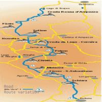 ALTA VIA N° 1 ROUTE ALTO ADIGE AND VENETO
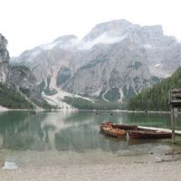 LAKE BRAIES
-
Cerca nel sito
-
Categorie
- News
- Chi siamo
- Dove siamo
- Contatti
- ARTIDE, ANTARTIDE, CALDO
- LISTA NOZZE
- MARE e CROCIERE
- DISSERVIZIO AEREO
- TOURS SINTESI 26/27
- TOURS e soggiorni 2027
-
Login FAST


